
|
|
|
| [Science] [BAS home] [Met home] | Antarctic Meteorology |
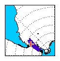
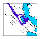
The images show the tracks of RRS Sir David Attenborough (in blue). The position is taken from meteorological reports from the ships. The German research vessel Polarstern is also shown, in orange.
The image at the left shows all the ships delivering meteorological reports recently south of about latitude 20 S.
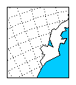
The other images at the bottom show the areas around Halley station, Rothera station, and other areas of interest.
| All Antarctica | Atlantic Quadrant | Near Halley | Near Rothera | S of Africa | 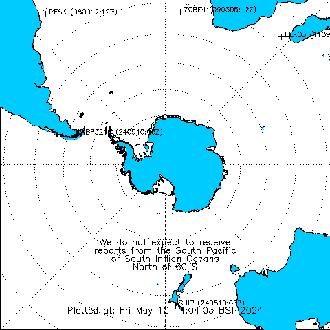
| 
|  |
 |
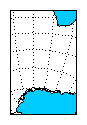 |
The red symbols mark the last known positions. The tracks are derived from meteorological reports produced by the automatic weather station on the ship. The tracks are updated hourly.
The latest ship meteorological reports are available: SDA,
The simple track data are available: SDA,
Other ships are available (warning: only accessible by call-sign)
from ships-met.html.
| Page text last modified: 14/12/2021 |